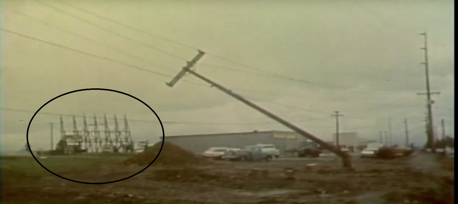
Some of you have seen this photo in the "Storm damage" album. For those who haven't, the distribution pole in the foreground was snapped like a toothpick thanks to tornado activity that ravaged the Portland/Vancouver area on April 5, 1972. That written, what is that odd seven-pointed structure in the background? Is it power related? Do any Portlanders or Vancouverites know what this is (or remember what it was)? Is a street location available? Any information is appreciated. Photo credit: [id=768308330] Answer: This structure isn't power at all; It's the screen tower frame at Vancouver's now-demolished Renfro Drive-In (minus the screen, thanks to the tornado). According to historic maps, the screen faced the same direction that the broken pole is leaning. The image was taken on East 18th Street, just west of Andresen Road, facing northeast. By the way, the very tall pole line to the right is still there today. P.S.: Thanks, Richard, for the help. |