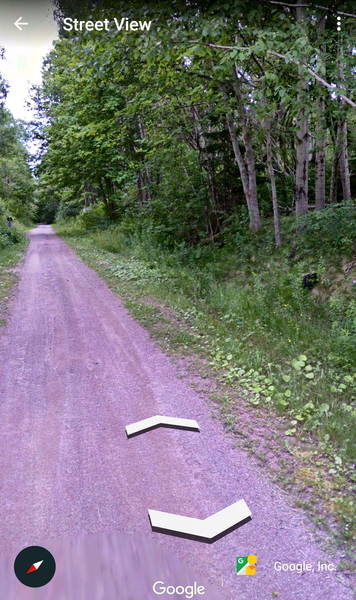
Planning to visit the Port Hood area of Cape Breton in the Spring. Spent some time google tracing the CN line that was completed around 1901, originally named the Inverness & Richmond, and abandoned by 1986. This spur is now part of a lengthy Rails to Trails. Apparently, the google hiking guy walked a few kilometers down the path before shutting down. Note the promising pole stump. Also used in the search is a book titled "Cape Breton Railways: An Illustrated History" that I just picked up from Amazon. I won't have a lot of time but I hope to spend a half day on the more remote parts of the trail. |