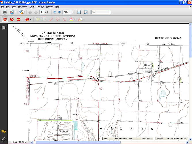
Locating railroads using USGS maps
By Steve McCollum; posted October 11, 2009
View Original: Click to zoom, then click to magnify (1024 x 768) 382KB

|
This is part of the USGS map that I used to determine that the old railroad that was torn up, which I saw as we passed Shields, KS on our current road trip, was the Missouri Pacific. Why does this matter? Well, we found three piles of poles, still loaded with crossarms and insulators. I of course grabbed some, but that story is for a different day. The "X" which marks the location of one pole pile was added by me, using the TerraGO toolbar in Acrobat Reader. This map let me see that the former railroad was the MoPac. Look here [id=259808544] for the details on obtaining maps. |